“It’s always been this way.”
“Crime is down.”
“It was worse in the 80s.”
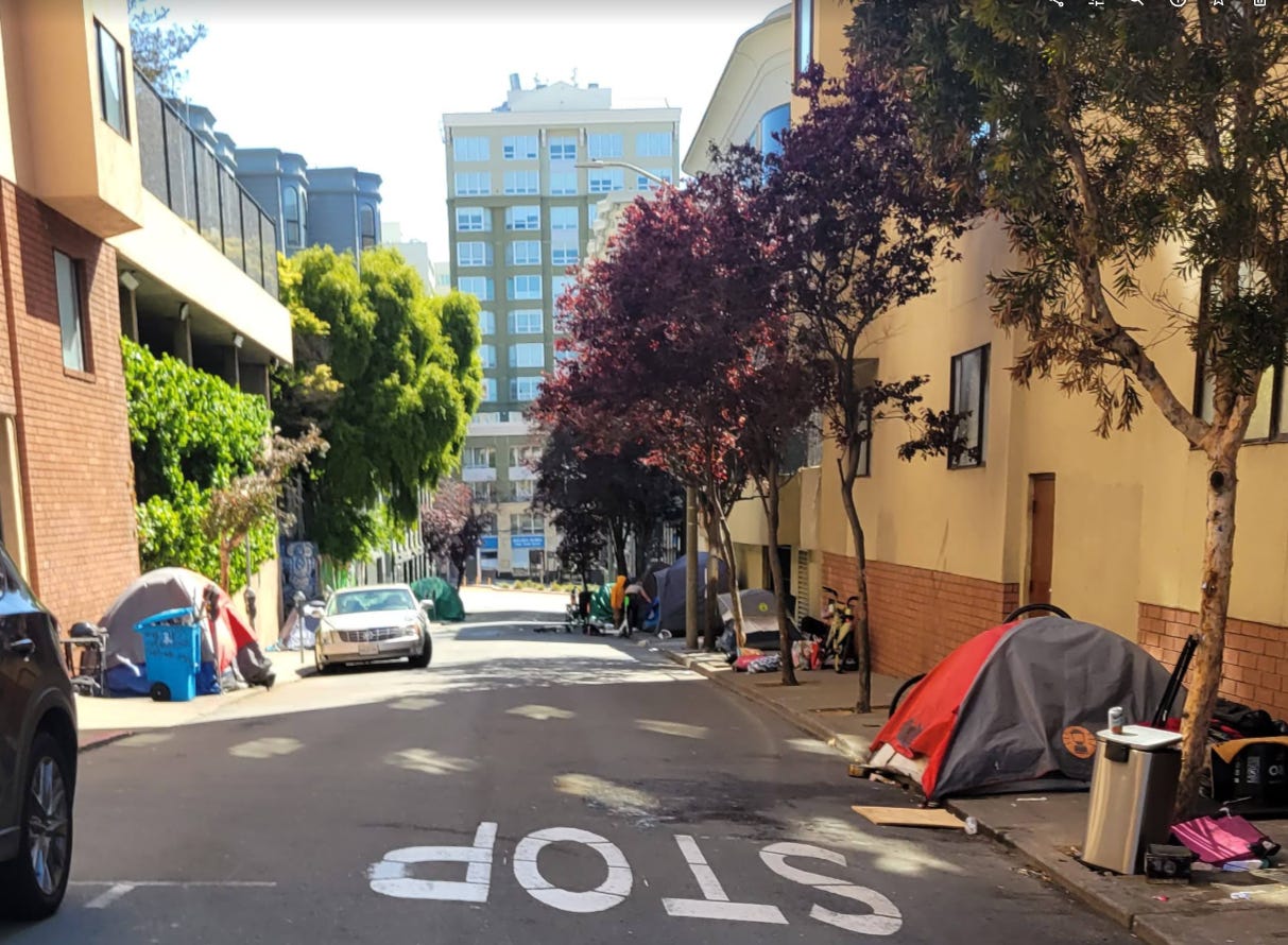
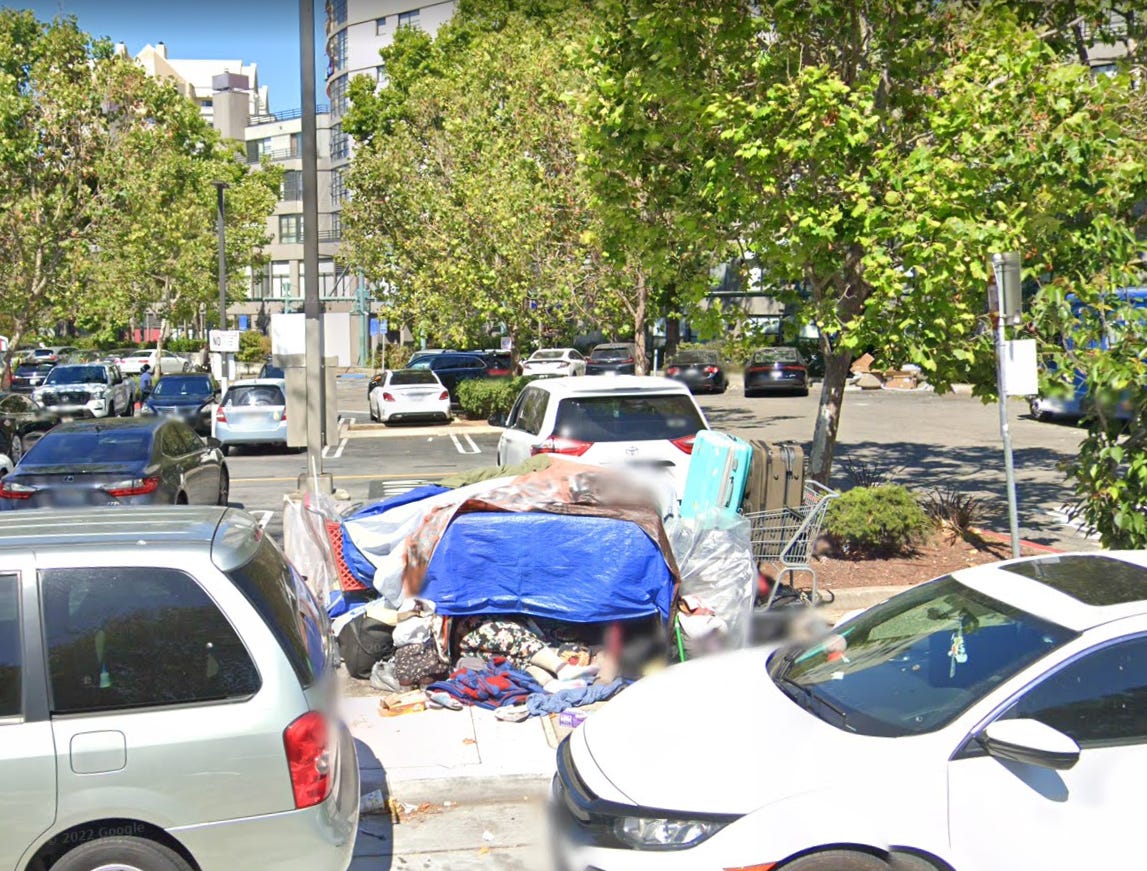
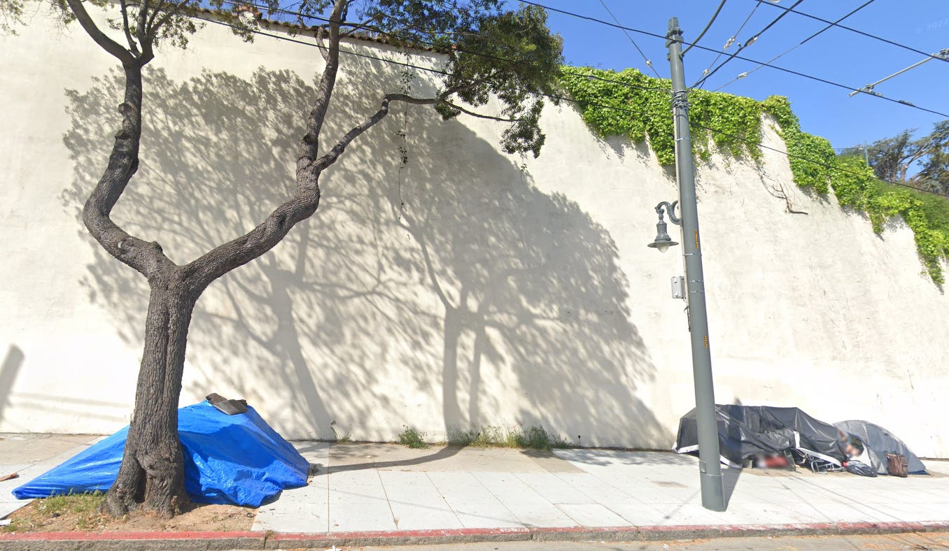
Apologists for the destruction of SF by junkies have all sorts of rationalizations. We’re told that everything’s fine, shown a picture of the Golden Gate Bridge at sunset, and asked to stop worrying. But Google Maps don’t lie.
You see, Google Maps provides a history of its street photos. Since SF is ground zero for Google engineers, they’ve been photo-mapping our fair city since 2008. Let’s look at a few before and after shots (I’ve mixed in some of my own photos).
Fern Street
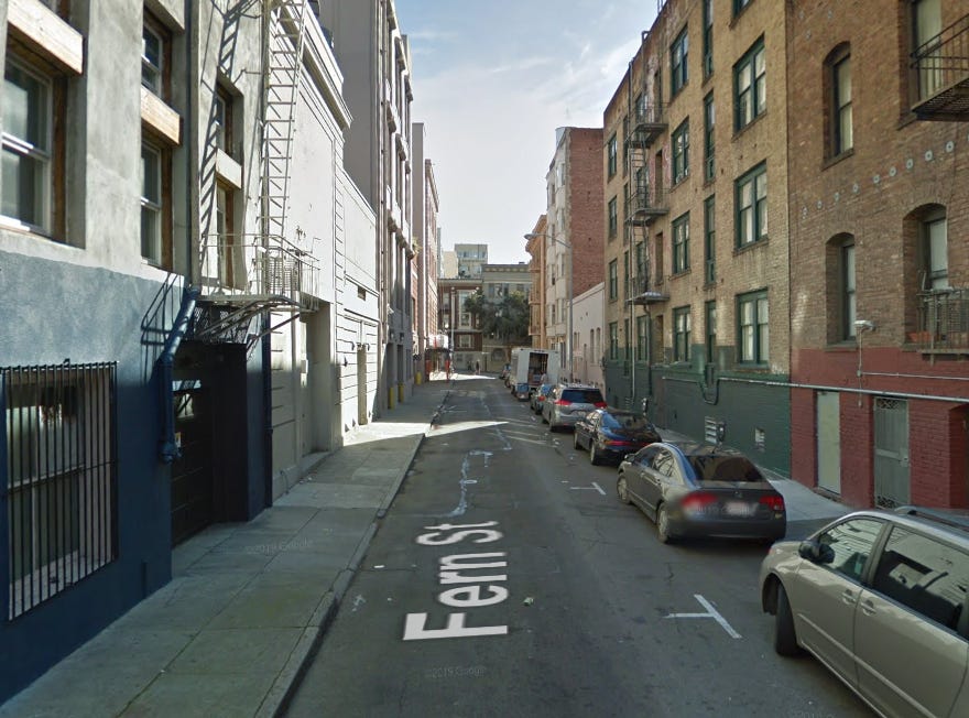
Fern Street runs between Van Ness and Larkin. It was originally a rather dull looking alley (2011 Google Maps view):
But in 2015, the city, with a grant from a nearby hospital, decided to turn it into a “pedestrian friendly street”, reimagined as a “recreational zone” for families. By 2019, just in time for the zombie apocalypse, the project was complete:
And this is Fern St in April, 2023. Pedestrians must use the car lanes, as the zombies have taken over the sidewalks. The only recreation that’s happening here is recreational drug use.
Nearby Hemlock St. suffered the same fate. Here it is in 2019:
And April 2023 (photo credit @derabkin):
24th and Mission Streets
Google maps has an almost 20 year photo history of this BART station entrance. Until last year, the images were all similar- a normal street corner. This is 2018, for example:
And here’s their most recent image, from March, 2022:
It’s hard to imagine these two photos are even of the same country.
7th and Mission
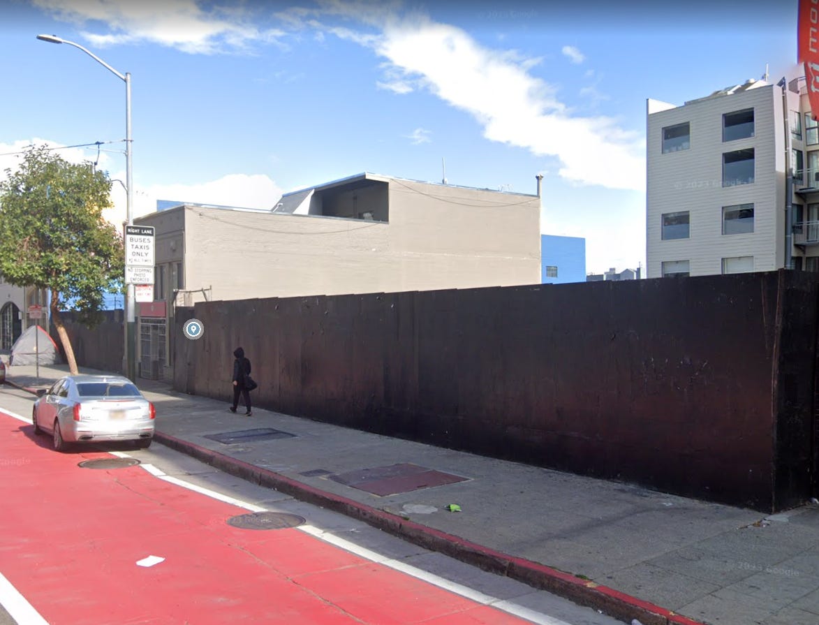
In some cases the takeover by drifter/addicts is too recent even for Google maps. Consider the south side of 7th and Mission. Their most recent pic from Feb 2023 has only one grey tent at the far east end.
But here’s the same spot in April, 2023:
We could go on forever…
Across the street from Rainbow Grocery 2019…
and 2023:
Hoff St. 2022. You might think at least playgrounds were off limits…
Nope (Hoff St. 2023)
Shotwell St. 2020…
And 2023…
The Embarcadero 2021…
And 2023, same spot…
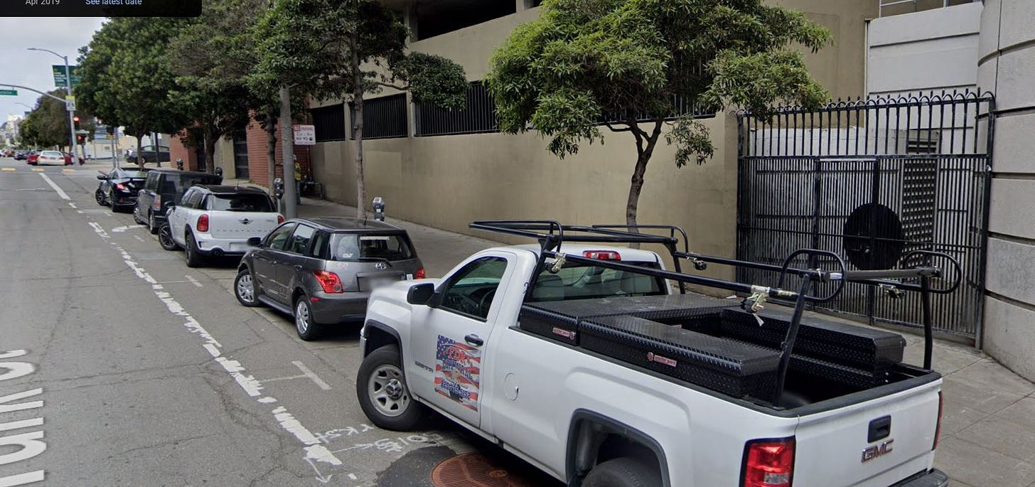
Still here? Wonderful! Turk near Franklin, 2019…
…and 2023:
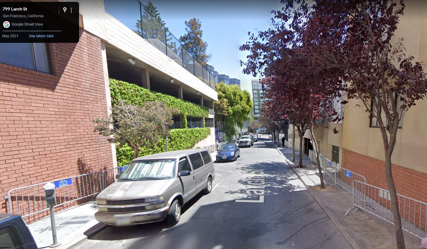
Larch St. 2021…
And 2023:
I was surprised to see a lack of tents from the most recent Google Maps pic across the street from the Divis Trader Joe’s:
But then I saw the photo date was way back in Apr 2022. Here’s that same stretch today:
Ellis and Van Ness 2019:
and 2023:
Let’s do some Safeways. The Japantown location, 2019…
And 2022:
The Marina Safeway 2019:
Vs Sept 2022:
Van Ness around Bay 2019:
And 2023:
Of course, Google Maps only does streets. So many tent cities are in places google doesn’t go - Parks, pedestrian areas, covered nooks and crannies all over the city.
Pretending a problem isn’t real, unfortunately, won’t make it go away. Only urgent action by competent government officials at all levels can solve this crisis. So far, our leaders haven’t been up to the task.











Fantastic accumulation of photographic documentation